
Project Experience
Project Experience
Integrated catchment management
- Set up Environment Canterbury’s first completely integrated catchment water resource survey on the Orari catchment, this included surface and groundwater interaction as well as the full measurement of all surface and groundwater abstractions.
Mapping water resources
- Overseen the complete mapping of the Canterbury region’s water resources at low flow, including concurrent gaugings to detect losing and gaining reaches.
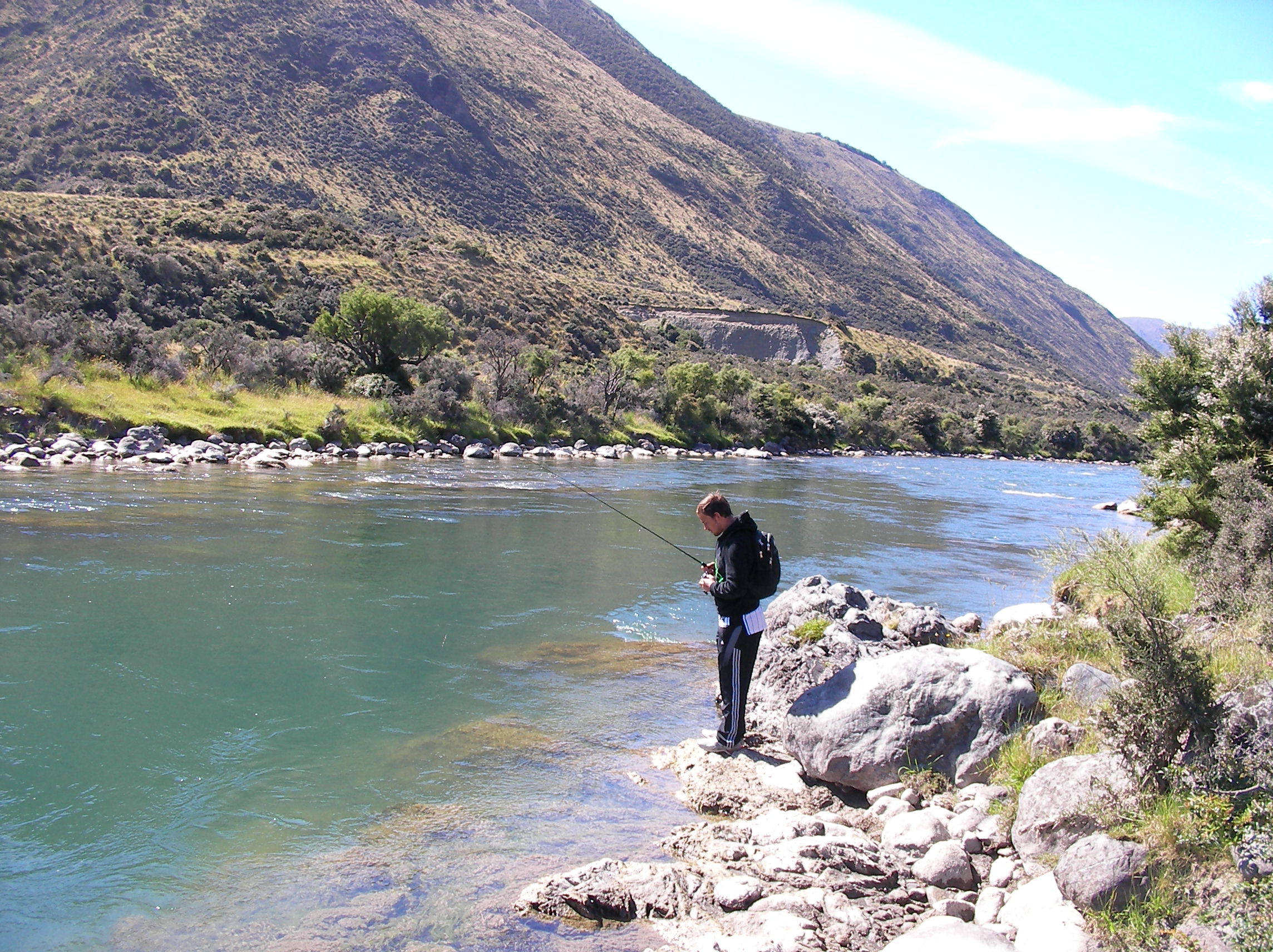
Water loss and gain surveys
- Completed on the, Rakaia, Waimakariri, Rangitata, Orari,, Ohapi, Ashburton, Selwyn, Avon, Waipara, and Ashley rivers.
Ashburton Management Plan
- Advanced the knowledge of the naturalised Ashburton River flow regime to enable integrated catchment water resource management
Water Conservation Order
- Developed a practical water balance model of Lake Ellesmere to predict level changes for optional management rules, used in two WCO Hearings
- The key witness at the Hearing for the amendments to the WCO on Te Waihora (Lake Ellesmere) to improve the environmental health of this fourth largest lake in New Zealand
Environment Court negotiations
- Advanced the Opihi River Plan environment Court negotiations by modelling the influence of the Opuha dam
Team Leader
- Led a surface water monitoring team operating a large hydrometric network and successfully increased the annual data processed, from 40% to 99%.
Rainfall research
- Set up and serviced climatological and hydrological stations across a transect of the Southern Alps of New Zealand from Mt Hutt to the Waitaha Valley on the West coast.
- Included organised teams of up to 28 scientists and technicians to complete monthly measurements using helicopters in a rugged mountainous area, where the weather can change very quickly. Measurements of 13000 mm annual rain and winds of 210 mph are common